At the heart of Faial lies the Caldeira, seated atop Cabeço Gordo (“fat mountain”), which opened to a spectacular view not only within the crater but the coasts of the island too. Standing at 1,043m above sea level, this is the highest peak of Faial that on a clear day, opened panoramically towards neighbouring Pico, São Jorge and Graciosa.
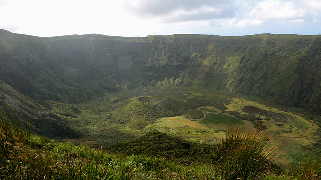
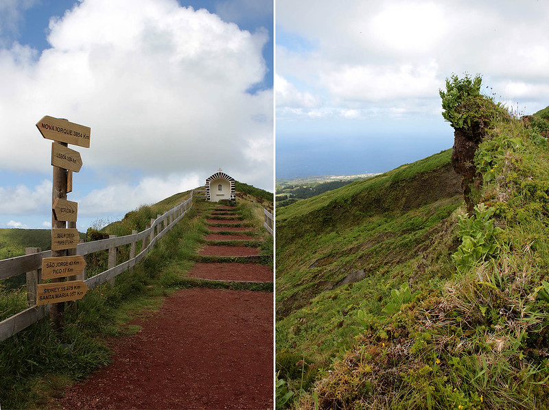
The caldera is 2km wide with a depth of 400m, and a 8km path exists for a short 2-2.5 hours hike for the keen. Clouds hovered over us as we made our way around the caldera, at time walking on narrow path with immediate drop on both side of the path (eeek!), at time on wide-enough-for-a-car path, and at time on muddy ground especially after some rain. The strong wind was my bigger concern – what if it tried to blow me away?
Continue reading »
“If you drive non-stop along the primary road, you can complete the loop in about an hour.”
Faial is not a very big island, home to about 15,000 inhabitants, a large caldera at Cabeço Gordo (more on that in a separate post), a relatively new land mass called the Capelinhos, and if the name of one of the hiking trails is anything to go by, a series of 10 volcanoes on a route of 20km (it’ll take 7 hours to hike). To us, Faial is more green from the vegetation than blue, for we didn’t see quite that much blooming hydrangeas that help earn the island its nickname of the Blue Island…
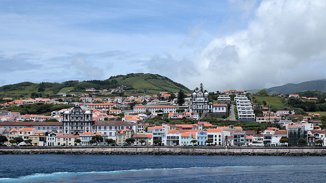
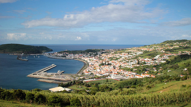
Like Pico, micro-climate is everywhere but we largely got lucky and managed to stay ahead of the rain cloud most location we went, unless it happened to be raining heavily islandwide… I managed to get a bunch of postcards written up while waiting for the sky to clear, even as we lamented the loss of time to be out exploring. Or go on a marine excursion.
Continue reading »
Just under 60 year ago, over at the Azores, the sea was rumbling. Throughout the course of the following 13 months, regular tremors were felt and active volcanic eruptions sent the residents of Faial, especially those on the western half of the island, packing and sailing for Boston after they lost their homes and agricultural lands, abandoned and buried under thick layers of ashes. To this day, the surrounding area remained largely uninhabited.
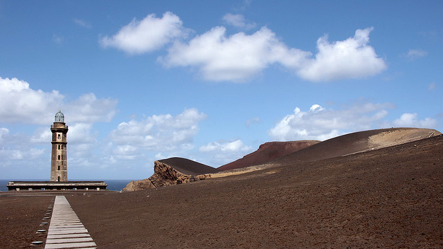
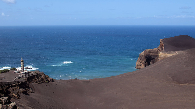
Those who stayed, or came to study the event, saw the birth of a new land mass that attached itself to the Costado da Nau Volcano, extending Faial with an area of about 2.4km² off the coast of Capelo. It was baptised Capelinhos; it is also the most western land point of the Eurasian plate. Today, what we see is a unique landscape of barren layers of submarine ashes and hardened lavas. Mother Nature sure knows how to make an entrance.
Continue reading »
How do you spot the unprepared pair of hikers at Mount Pico, the highest point on Pico Island with an altitude of 2,351m? Well, they arrived at 1pm to commence what is normally a 7-hour trek (3 hours up, 4 hours down) with 1.5L of drinking water between them, a puny sandwich each for lunch, plus a couple of cereal bars for snack. And oh, no trekking poles either. There you go, it seemed F and I were off on a great start, no? :p
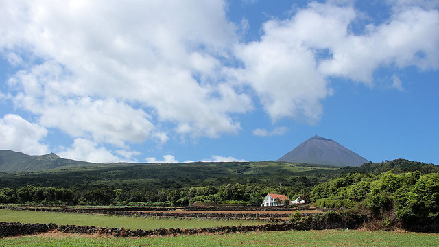
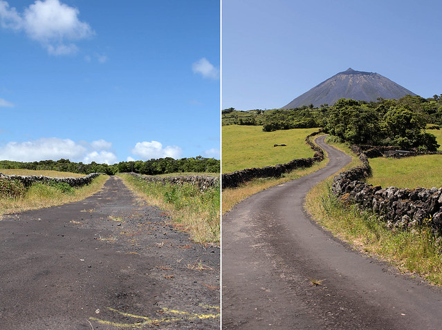
After a scenic drive from São Roque to the Casa da Montanha (i.e. House of the Mountain) that took longer than expected, but we suspect much prettier and off the beaten path compared to the route that most visitors have normally been sent along, we duly reported ourselves to the staff in charge so we can be registered, provided with a GPS tracking phone in case of emergency and rescue, and briefed on safety and relevant information. We were lucky that the day was clear and the conditions to trek, according to the staff, was the best for the dates that we were in Pico. We also had just about enough time to do a day hike and return before the day turned night. Up we go then!
Continue reading »
We flew a couple of hours across the Atlantic from Lisbon, where all that I could see from my 5E seat (read: not much) was a large expanse of water for the bulk of the journey, when billowy clouds start to make their appearance. I joked to F that it’d just be our luck to get cloudy weather in the Azores when it had been clear up until now, and boy I should have kept my mouth shut. Indeed, we would soon be landing, and the clouds were there to stay and kept us company for the day.
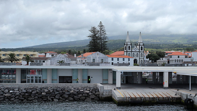
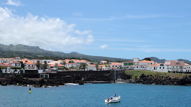
The masterplan: fly in to Horta, Faial, on the first flight and catch a ferry to Madalena, Pico, the same morning at 10.45am. However, our flight departure was delayed so we missed the sailing by 15 minutes and had to wait till 1.15pm. Maybe just as well. We were at the ferry terminal when I noticed that “our” checked luggage was not ours. Darn! A frantic call later – thank goodness for luggage tag – we managed to locate its owner who, in turn, had our luggage. He was also travelling to Pico, so at least we could luggage-swap without having to return to the airport.
Continue reading »


