Jun 30, 2015
Postcards: Capelinhos (PT)
Just under 60 year ago, over at the Azores, the sea was rumbling. Throughout the course of the following 13 months, regular tremors were felt and active volcanic eruptions sent the residents of Faial, especially those on the western half of the island, packing and sailing for Boston after they lost their homes and agricultural lands, abandoned and buried under thick layers of ashes. To this day, the surrounding area remained largely uninhabited.
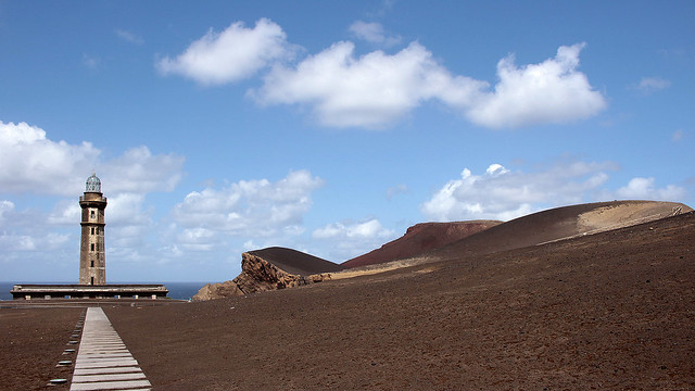
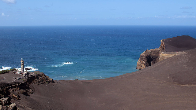
Those who stayed, or came to study the event, saw the birth of a new land mass that attached itself to the Costado da Nau Volcano, extending Faial with an area of about 2.4km² off the coast of Capelo. It was baptised Capelinhos; it is also the most western land point of the Eurasian plate. Today, what we see is a unique landscape of barren layers of submarine ashes and hardened lavas. Mother Nature sure knows how to make an entrance.
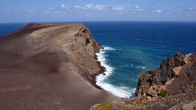
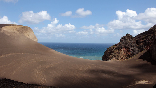
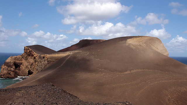
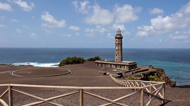
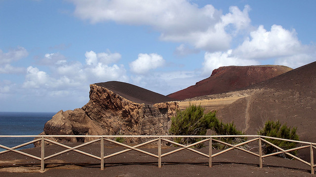
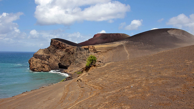
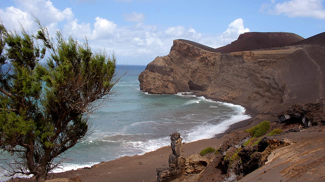
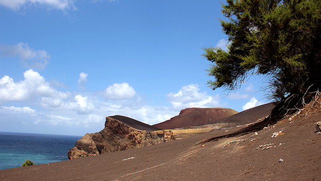
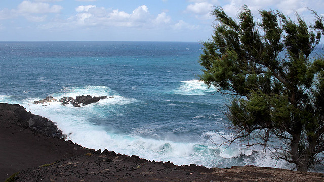
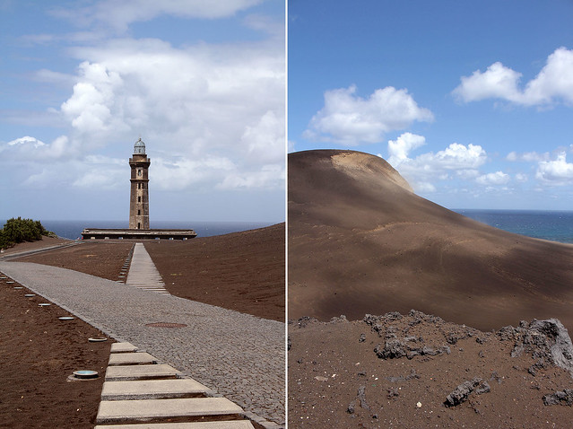
The sole surviving building at the Ponta dos Capelinhos is a lighthouse, which is now a new kind of beacon, signalling the presence of an underground interpretative centre that gives visitors a peek into the history and the formation of the Capelinhos. F debated a short hike to the Capelinhos Volcano itself but on seeing the ash-covered slopes (it looked slippery) and considering my still sore legs after Mount Pico, I thought it may not have been the best of idea since I would not as nimble as usual, never mind the nanny-like pace I was walking with.
Definitely one of the most astonishing spots that we’ve seen in our lives!


Wow…amazing indeed. I guess seeing the landscape in person was awesome ;)
It was! We absolutely loved it here :)