Jun 28, 2015
Up, up, up Mount Pico
How do you spot the unprepared pair of hikers at Mount Pico, the highest point on Pico Island with an altitude of 2,351m? Well, they arrived at 1pm to commence what is normally a 7-hour trek (3 hours up, 4 hours down) with 1.5L of drinking water between them, a puny sandwich each for lunch, plus a couple of cereal bars for snack. And oh, no trekking poles either. There you go, it seemed F and I were off on a great start, no? :p
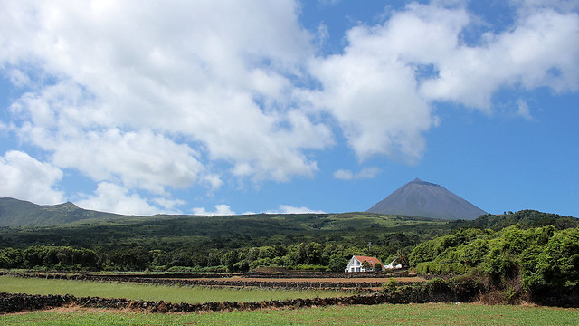
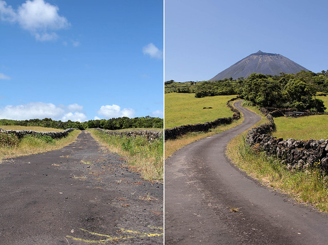
After a scenic drive from São Roque to the Casa da Montanha (i.e. House of the Mountain) that took longer than expected, but we suspect much prettier and off the beaten path compared to the route that most visitors have normally been sent along, we duly reported ourselves to the staff in charge so we can be registered, provided with a GPS tracking phone in case of emergency and rescue, and briefed on safety and relevant information. We were lucky that the day was clear and the conditions to trek, according to the staff, was the best for the dates that we were in Pico. We also had just about enough time to do a day hike and return before the day turned night. Up we go then!
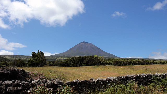
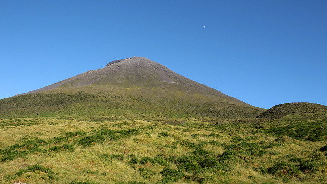
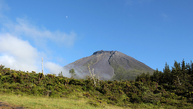
Mount Pico has the characteristic steep profile along with layers of hardened lava of a stratovolcano. Dormant since 1718, it also has a pit crater at the summit as well as a small volcanic cone – the Piquinho (Little Pico) – of about 70m that leads to its true summit and requires actual climbing/scrambling to ascend. The trail starts from a staircase leading up from the Casa da Montanha, situated about 1,230m above sea level, leaving us with a good 1,120m of height to tackle, over a distance of 3,800m.
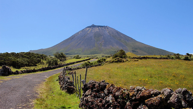
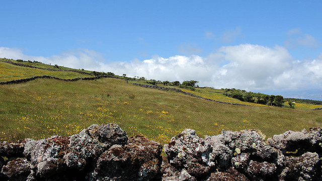
The trail is marked by 45 posts at an interval of 50m or so, but to an inexperienced hiker like me, I translated that as 50m in distance between the posts (so 2,250m to walk in total). Any wonder that I puzzled over why the actual distance between posts varied so much… and imagine the dismay when I felt like I’ve hiked forever and yet I’ve barely reached post number 7, gulp. Note to self for future hikes: 50m means 50m in height! For most of the trail, on arrival at one post, it’s easy enough to spot the next one up, with exceptions: between posts 1 and 2, and posts 5 and 6, given the amount of vegetation to give them cover. Some old marker posts also exist in parts, and should not be confused as markers for the current trail.
The initial path started as soil and could be muddy if it had been raining on the eves. Gradually, lava rocks started to make their appearance, and the volcanic bedrocks remain the main feature all along the hike until the Piquinho. How you hike up from one marker post to another, well, the path is not always clear cut. Plenty of judgement call was needed, and for me, that meant trying to find area with as wide a foothold as possible and that the next step up would not be too high that I had to climb (I did have to do that from time to time) between rocks.
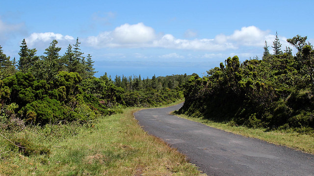
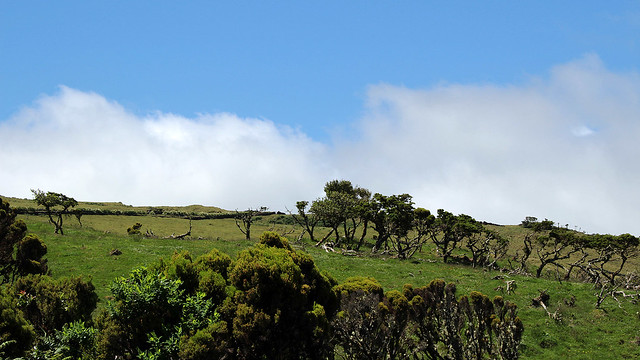
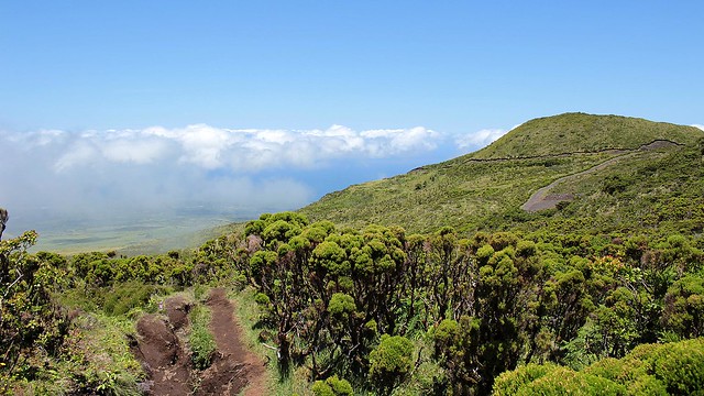
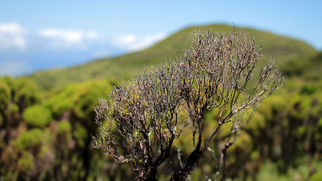
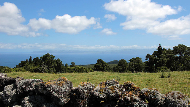
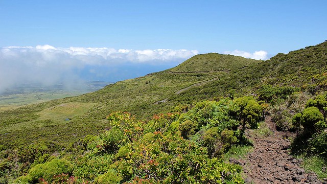
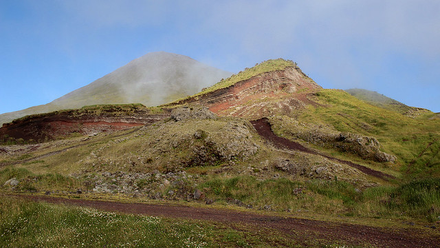
It was a very beautiful hike. The clear day afforded us expansive view towards Faial and São Jorge, until the clouds started gathering around the level where we started off and gradually expanded its coverage. Just round the corner of marker 2 was a cave called Furna, and a fantastic view towards eastern Pico. Higher up, we could see other remnants of volcanic activities of the past, like neighbouring and smaller craters. The shining sun kept us nice and warm throughout the hike up, even though we were just in short-sleeved tees and lightweight pants.
Without trekking poles, the ever-present fear of slipping on the loose-ish bedrock and steep surface kept my hike up challenging, and at times, slow. At marker 26, I decided to perch on a rock and made it my reading spot. I told F to keep on going on his own as I was unable to maintain his pace and trying to keep up tired me out. Moreover, I thought we had just barely got up half way through – true for the height, but not for the distance, which I did not know at that time! – after two hours of action and we were under time constraint to complete the ascend in three hours in order to return to the Casa da Montanha before it got dark. Had I known I had but another quarter of the distance to go and actually on target with time, I would have continued. (F reached the crater but didn’t climb the Piquinho so I would not be on my own for too long.)
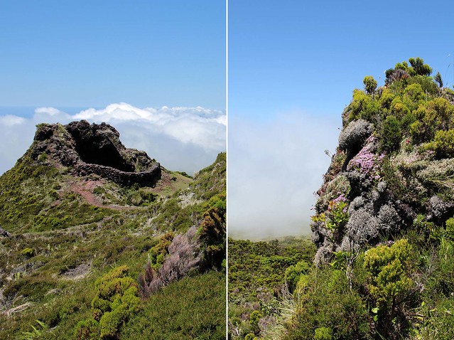
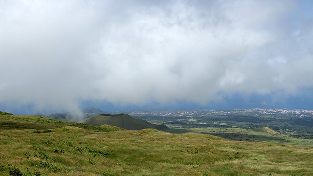
The descend did not take us longer than the ascend. For me, from marker 26, it took nearly the same time to return to the trailhead. Finding my footing took full concentration, and I was glad that we return while the light was bright, because if we had thought finding our path up was not always straight forward, coming down was even trickier. I had to “unsee” the abrupt drops between posts and get close to the edges to find the way down. F naturally took lead on this but he was as sure-footed as I wasn’t, and by the time we reached the Casa da Montanha, my legs were all rubber and trembling, eeep! Unsurprisingly, I was also sore for days after that…
We didn’t have a guide with us and we don’t think it’s strictly necessary. In general, we are reasonably fit (clearly, F more than me) and it shouldn’t be an issue to get to the summit but I need pace myself better instead of letting the sentiment of being “not fast enough” took over; a well-timed start would have also helped mitigate the latter. It took F about 5.5 hours to hike to the crater and back, and me 4 hours roundtrip to marker 26. The Casa da Montanha provides excellent service and information to visitors, and they are well-placed to advise hikers of the typically fast-changing microclimate around the mountain. In winter months, limited visibility and non-optimal conditions are better suited for the experienced.
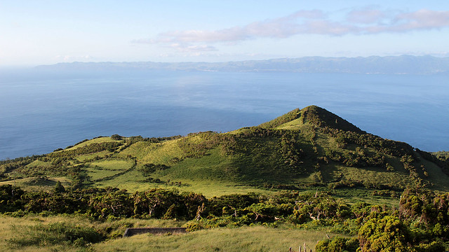
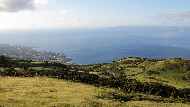
Was it worth going up Mount Pico? Yes. Even my reading spot was awesome. (Sorry, I got preoccupied between admiring the view and reading that I forgot to take any photo. Actually I barely took photos as we hiked because camera was stashed away so I can concentrate on hiking.)
Did I regret not getting to the summit? Yes. So close, yet so far. Especially as I found out about the remaining distance from a pair of Canadian hikers who stopped to talk to me about 10 minutes after F had gone up. I had no way to contact him so I can’t tell him that I’m on my way up with these guys and I’ll meet him up at the summit, so I stayed put. And mentally kicked myself for not being determined enough in the first place.
Would I do it again? Yes, only if better-equipped with trekking poles and more water supply. Rationing 1.5L for two person was just too much since we were not on a flat hiking trail along a coast or the likes. We actually had a spare litre bottle of water in the car so more mental-kicking for not being clever enough to bring that with us too in the first place.


Awwwwwww…..u need to go again and reach the summit lil hehehe ;) good thing the weather looks superb!
Hehe… maybe one day, maybe ;)